QGIS 1) watershed delineation
- Seunghye Baek

- Feb 23, 2020
- 1 min read
Updated: Mar 4, 2020
1. Download dem file here
1-1. search DEM file in Open Market page and download.
1-2. search 행정구역 경계면 file and download
2. Pretreatment
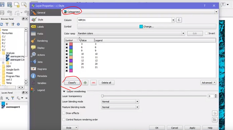
2-1. upload DEM files to QGIS and change format(click raster -> format transform)
2-2. merge transformed DEM files to one piece(click raster -> merge)
2-3. upload 행정구역 경계면 file to QGIS and right click the layer -> 속성테이블 -> click object areas.
3. delineate watershed
3-1. tool box-> search Fill sinks -> result.(filled DEM, watershed basin, flow direction rasters)
3-2. transform watershed basin to polygon (click raster tab -> transform to polygon)
3-3. 속성태이블 -> seperate areas
*you can check water flow direction here(상류인지 하류인지) -> 물환경지리정보서비스http://water.nier.go.kr/front/waterInfo/watershed01.jsp

4. 결과확인
4-1. analysis which part is high or low with "google earth"
Dark part means low elevation
*구글어스 오른쪽 하단에 고도 적혀있음

Comments